Trending

A full day on British footpaths is less about covering distance than about managing a string of small decisions. Which gate latches behind you. Where the ground changes from chalk to clay. Whether the last mile back to the car happens in daylight or in the dark, with a head torch you didn't pack. Most disappointing days out aren't caused by bad luck. They're caused by ten things that take a quarter of an hour to sort out the night before.
The route decides everything else: how much water, which footwear, what time to leave. So begin by knowing what kind of path you're actually on. Public footpaths are for walking. Bridleways add horse riders and cyclists. Restricted byways add horse-drawn vehicles, and byways open to all traffic can carry motor vehicles, which usually means ruts and deep mud. That distinction isn't pedantry; it tells you what surface to expect underfoot.
Get a proper map — Ordnance Survey Explorer or Landranger, paper or digital — and trace the dotted line with your finger. Note every junction, every farmyard the route passes through, and any stretch where the path leaves a clear track. Rights of way can be closed temporarily for forestry work, landslips or shooting, and councils publish those notices. A quick look at the local authority's rights of way page the day before beats a wrong turn at four in the afternoon.
Around 3km per hour is a reasonable working average on mixed terrain, and that's before you add time for hills, stiles, gates and long grass. A ten-mile route with 500m of ascent can comfortably fill seven hours once you include stops. Mud after a wet week roughly doubles the effort in places. If you're leading a group, plan for the slowest pair of legs, not the fastest.
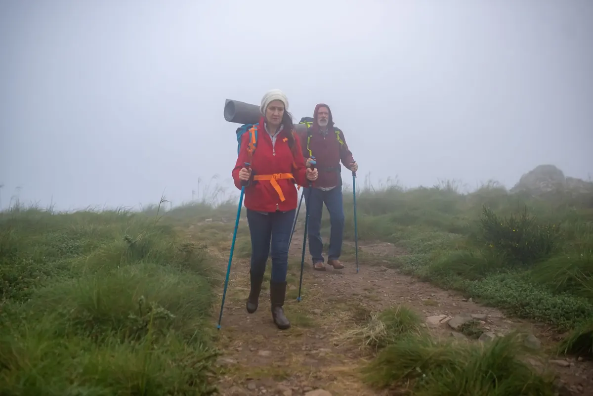
Most weather apps give you temperature. Walkers need wind, the timing of rain, and visibility. Wind matters more than cold on exposed ridges and coastal paths, and hill fog can drop a cloud base from high above you to well below the summits within an hour. That's when a compass — or an offline map you genuinely know how to use — stops being decorative.
Look at the previous three days' rainfall as well. Ground conditions lag the weather. A bright Saturday after a wet week means standing water, churned bridleways and streams running higher than the map suggests. Note the sunset time and build in at least an hour of daylight as a buffer. Decide in advance where you could shorten the route if the weather arrives early. If an amber warning or a named storm is forecast, that's a day for a lowland circuit or another weekend entirely; take your guidance from the Met Office rather than a summary on a phone widget.
Nobody needs a mountaineering kit list for a beech wood in the Chilterns. But a full day out in the British countryside, in any season, has a reliable shortlist:
Access in England, Wales and Scotland works on slightly different foundations, but the everyday etiquette is much the same. Leave every gate as you found it: closed if it was closed, open if it was open. Cross stiles one at a time and step over the top bar rather than perching on it. If a stile is broken or a path is obstructed, note the grid reference and report it to the council's rights of way team. Landowners cannot lawfully block a public right of way, but the resolution sits with the local authority, not with an argument at the gate.
Cattle with calves are the ones to treat seriously. Give them room, avoid walking between a cow and her calf, and if you feel threatened, let the dog off the lead and walk calmly away. Around livestock and ground-nesting birds — broadly March to July — keep dogs on a short lead; on most access land that's a legal requirement as well as good manners. Never let a dog chase anything, and never feed ponies, sheep or cattle, however appealing they look.
Tell someone where you're going, the route you intend to take, your expected return time and who to call if you're not back. That single sentence does more than any gadget. Set a check-in time and stick to it, and keep your phone warm and charged, with a power bank if you're relying on it for navigation.
If you lose the path, stop. Retrace your steps to the last point where you were certain, then re-establish the line from there. Walking on in the hope that the path reappears is how an hour becomes a night. If something goes wrong, dial 999 or 112 and ask for the police, who coordinate mountain and lowland rescue. This is general guidance, not a substitute for training: if you're heading into remote ground, a navigation course or a look at Mountain Rescue England and Wales' advice is time well spent before you go.
Do a one-minute audit at the trailhead: boots fastened, jacket within reach, water accessible, map in a pocket rather than buried in the pack, phone charged with the route already open. Note the time you set off. Then walk, and let the planning do its quiet work in the background.
If the day turns — a flooded ford, a locked gate, cloud sitting on the ridge — turning around isn't failure. It's the checklist doing its job. The path will still be there next weekend, and so will the heron.
Photo: Kampus Production / Pexels